TEAM is an acronym of the following Hungarian words: Térinformatikai (GIS), Egyetemi (University), Alkotó (Creative) Műhely (Workshop).
The TEAM is a creative workshop of Eötvös Loránd University on GIS and related sciences such as computer science, cartography, remote
sensing, data mining, application development, pattern recognition and artificial intelligence. The story of the TEAM started with EDIT
(an acronym again, Digital Map Store), when we initiated the development of an information system which would thousands of digital maps
and their attribute data. The goal of this system is to establish a huge GIS database for education and research, for cartographers and
geographers, and also for computer scientists and PhD students, who need a digital laboratory for their practical and theoretical research.
The next evolutional step of the TEAM was the development of an automatic raster-vector conversion system (IRIS) which targeted the vectorisation
of scanned paper maps. This was sponsored by the IKKK (Informatic Cooperative Research Centre). The IRIS project produced a scientific
software version, which works properly. However, the projekt is not completed yet, because it consists of many separete software components.
Now we are going to work out its commercial version.
The members of the developer group of IRIS come from different disciplines such as computer science, geophysics, cartography. Young people,
PhD students joined us, and finally we outlined the purpose: to carry out high level research and to introduce our results into the regular
education.
The next research topic is related to the theory and practice of remote sensing: thematic classification, segmentation and datafusion. The
experts of
FÖMI contributes to this project.
This virtual globe exhibition is intended to present the earth and celestial globes made in or related to Hungary. However, some kind of
VRML player is needed to be installed on your computer in order to view the virtual globes in 3D.
One of our interesting research themes is the digital evolution and the digital evolution machines (DEM). This research is mainly theoretical:
we established the principles of DEM\'s life, such as self development and adaptivity. Starting the first DEM is at hand.
The members of the TEAM have remarkable role of teaching GIS since 2005. A GIS module with 16 credits is very popular among the programmer
students, who are introduced to cartography, GIS, remote sensing and application development.
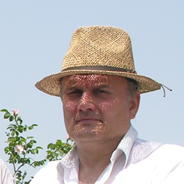
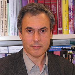
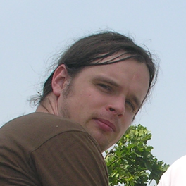
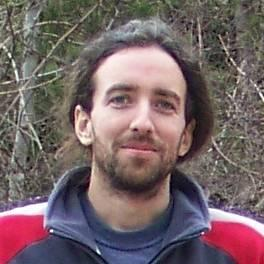
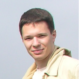
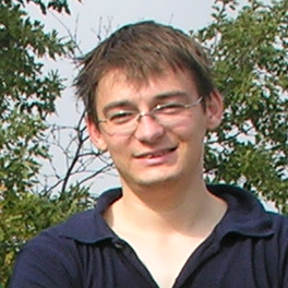
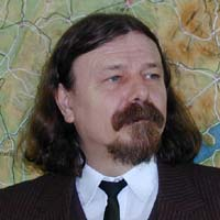
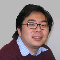
Members of TEAM
 Magyar verzió